Hydroscience AI
RiverTek-LLM
Advanced LLM optimising dredging efficiency and navigational safety across strategic waterways.
Domain LLMGIS TelemetryDredging PhysicsFlood ForecasterHydrology
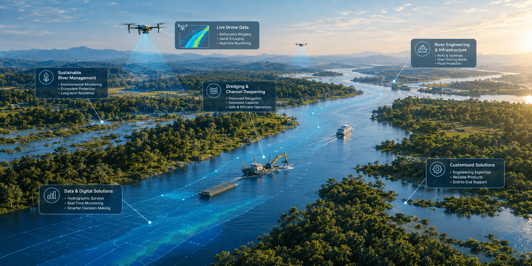
TekLink's inland waterways ecosystem — featuring advanced river channel modeling, hydroscience AI, dredging simulation, and fairway navigation platforms.
Enterprise integration ready: designed to integrate with GIS telemetry, bathymetric survey systems, and engineering infrastructure your teams already use.
River Systems
An analysis engine that takes historical river data and models how the river will evolve over coming years — simulating the impact and cost of dredging or eco-engineering interventions.
 Analysis Engine
 Analysis
 Case Studies
Hydroscience AI
Advanced LLM optimising dredging efficiency and navigational safety across strategic waterways.
 GIS & Telemetry
 Dredging Engine
Dredging Ops
A realistic training simulator for dredge operators. Practice controlling equipment and handling sediment safely before operating on live waterways.
 Overview
 Stats
 Operator View
Navigation
Simulator for navigating a vessel to the dredging site and carrying out dredging operations there — covering transit, positioning, and on-site dredge practice.
 Overview
 Dredger View
 Pilotage
To request access to these applications, please fill out the collaboration form.